
Waynesboro Neighbors: Block Sources
A block question needs different sources for different facts. The City GIS layer establishes geography: parcel outlines, streets, aerial imagery, city limits, and mapped features. The assessor and Circuit Court Clerk supply the property trail, while historic maps and directories add context from another time. Virginia does not provide a casual neighborhood-name search through the voter status screen. The public route is limited to a searcher’s own or authorized status, and formal list products require a qualifying purpose and signed responsibility.
Start by deciding whether the question is about parcel boundaries, a recorded owner, a past household, or a community contact. That distinction keeps a Waynesboro neighbor search grounded. It also prevents a mailing address, a deed party, or a nearby surname from being mistaken for proof that someone currently lives at a specific home.
| Block source | What it can establish nearby | How to reach it |
|---|---|---|
| City GIS | Parcel relationships, streets, aerial context, and mapped barriers | City overview and map resources |
| Real Estate Assessor | Current assessed owner, deed-book reference, lot and building data | City page, counter, or ACT destination |
| Circuit Court Clerk | Recorded instruments supporting the ownership trail | Clerk office and SRA access route |
| Historic district records | District history, visible setting, and historical context | DHR record and public right-of-way viewing |
| WRHA Resident Organization | Community representation for listed Waynesboro communities | Organization contact resource, not a roster |
Recorded ownership and a current household are separate facts. An owner may use an agent, trust, business, or out-of-city mailing address, and an occupant may have no public property record at all.
Waynesboro Neighbor Maps Define a Block
The City GIS program maintains geographic data about locations, names, classifications, and addresses. Its published map functions include pan, zoom, export, and query, with land-record, street, and aerial layers. Begin at the target address, then look outward at the surrounding parcel polygons. Roads, alleys, South River, rail lines, and other visible breaks can mean that the closest-looking parcel is not the practical next property on a block.
The city’s GIS mapping resources also list parcel, zoning, and floodplain map products. Those layers describe place, not residency. A zoning edge or historic overlay can explain why adjoining properties have different use or documentation, but it cannot identify a household. The live parcel-card fields were not available during research, so use the city’s published map material for context and confirm ownership with the assessor or clerk.
The City community-policing data page is one official screen that gives public context around local civic operations.
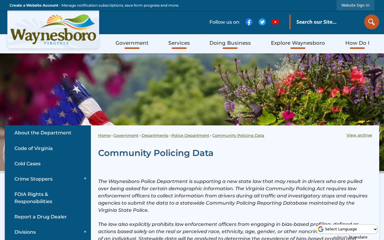
City public-data pages can provide neighborhood context, but aggregate information does not identify residents or replace parcel and clerk records.
Note: Keep a short list of the parcel ID, situs address, and map layer used, then verify each item with its named custodian.
Waynesboro Owner Fields and Residency
The Waynesboro Real Estate Assessor maintains current ownership, deed-book information, ownership history, lot size, and building information for about 10,300 parcels. That makes it the right starting point for a situs, the property’s physical address. The city now directs users to ACT DataScout, but the live destination returned an HTTP 403 response during the research inspection. The former VGSI page is a migration notice, not an active property search.
When the online route does not open, use the assessor’s office at 230 South Wayne Avenue or call 540-942-6722 during its Monday through Friday, 8:00 a.m. to 5:00 p.m. hours. Ask for the parcel and the current assessment information. For the recorded document behind a deed-book reference, contact the Clerk of the Circuit Court. The clerk holds city land records, probate files, marriage licenses, and circuit-court records, not an Augusta County recorder for Waynesboro property.
An owner field is evidence of recorded title. It is not a statement that the named person occupies the home, and a mailing address should not be recast as a residence address.
Trace a Waynesboro Block by Parcel
Use a tight, repeatable process for the immediate area around an address. This is not the same as tracing an entire named street. The aim is to map only the lots that actually touch or face the target parcel and to keep the chain of evidence clear.
- Open the City GIS resources and locate the target address. Note the parcel outline, nearby streets, and any right-of-way, water, rail, or alley that separates parcels.
- Record the surrounding parcel IDs and situs addresses where the map exposes them. Do not turn a geometric relationship into a claim about an occupant.
- Take each parcel to the assessor route for the current assessed owner and deed-book reference. If ACT is unavailable, use the city office contact.
- Use the Circuit Court Clerk or Virginia SRA route to confirm the recorded transfer, then return to the map to make sure the legal description matches the intended parcel.
For a longer chain along a named road, the Waynesboro streets page follows the address-by-address record trail. The block method stays narrower, because a bridge, railroad, or intersecting road can break what looks like one continuous run of homes.
Waynesboro Neighbor Voter Access Is Limited
The Virginia voter status form is not a block list. Its fields include first and last name, date of birth, the last four digits of a Social Security number, locality, and a certification that the information belongs to the searcher or is expressly authorized. It can help an individual check their own registration, polling place, district, or voting-related status. It does not authorize searching a street for names.
Virginia’s voter-list rules are narrower still. Va. Code §§24.2-405 through 24.2-407 set permitted uses and require a signed statement of responsibility for list products. The state form offers locality and district filters to qualified requesters, but that process does not create a casual Waynesboro neighbors tool. The local Registrar can explain the current request route and fees at 501 West Broad Street, 540-942-6620, with office hours of 9:00 a.m. to 1:00 p.m. and 2:00 p.m. to 5:00 p.m. on weekdays.
Note: A ward result from the city address finder is geographic information, not a release of voter names or private voter fields.
Community Contacts for Waynesboro Neighbors
Waynesboro has no verified citywide HOA or neighborhood-association directory. The city resource directory can be searched by category or name, but research found it is a small public-service directory rather than a complete association list. That negative result matters. A missing directory should not be filled by guessing that a subdivision, historic district, or plan area has a current membership roster.
Two documented community layers are useful in the right setting. The Port Republic Road Historical Residential and Commercial Area plan describes a resident-led planning process, not a household list. The Waynesboro Resident Organization provides community representation for specific listed communities. Neither source establishes that every nearby resident is a member or contact.
Port Republic Road plan
City neighborhood plans record the PRRHCA workshops, walking tour, and Council adoption. It is a geography and planning resource.
WRHA Resident Organization
WRHA’s public page names representatives for Springdale, Delphine, Ivanhoe, New Hope, Tenth, King, and at-large communities.
Use these contacts for community information within their stated scope. They are not substitutes for a parcel record or an invitation to seek private household details.
Port Republic Road Is History, Not a Roster
Port Republic Road, often called “The Hill” in community history, is a useful example of why block research needs context. The Virginia Department of Historic Resources identifies it as a principal historic African American neighborhood. The record describes post-Civil War growth near Frederick Imboden’s mill, early homes and churches by the 1870s, Shiloh Baptist in 1924, a Rosenwald school, and Tarry’s Hotel in 1940. Those details place the area in time; they do not identify present households.
The DHR district record documents the public-right-of-way rule for these private properties.
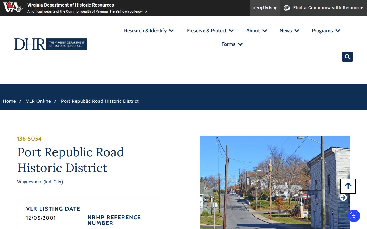
The historic-resource screen is a way to understand the setting around a block, not a reason to enter private property or infer a current household.
The related PRRHCA neighborhood plan began with city collaboration in 2019, included a 2022 walking tour and workshop, and was adopted by City Council on November 14, 2022. Its resident-led process is a civic-history trail rather than a neighbor directory.
The City neighborhood-plan record shows the documented public process behind this Waynesboro community layer.
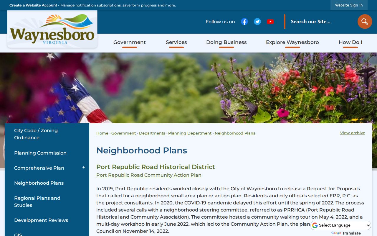
The plan helps distinguish a planning area from a private association roster and keeps the block question tied to its proper source.
Compare Waynesboro Block Lookup Sources
Official records and commercial neighbor-lookup tools answer different questions. The official route identifies a custodian and lets a reader test the date, parcel, and document behind a claim. Commercial tools may combine public and other data, but their source date, correction route, and coverage can be unclear. For a local block question, the best practice is to begin with the source that owns the record.
| Official local route | Commercial neighbor-lookup category |
|---|---|
| Links a parcel boundary to an assessor or clerk record with a known custodian. | May combine records from different dates and sources. |
| Lets the reader check a deed reference, map layer, or document date. | May not show the original record, update date, or correction path clearly. |
| Separates owner, map feature, voter rule, and community contact by purpose. | Can blur those labels into a broad name-and-address suggestion. |
When an existing city record is not online, a narrowly written Waynesboro FOIA request can ask the right custodian for that record. Virginia FOIA requires reasonable specificity and does not require a city to create a new resident compilation. A request may be redacted, denied under an exemption, or assessed a permitted cost.
Note: Record the source, date, and field label before relying on a block result, especially when ownership and residence could differ.
Respectful Limits for Waynesboro Neighbors
Some information about a block is not open for neighbor research. Utility and delivery records are not a public household directory. Protected records, sealed matters, restricted vital information, and an Address Confidentiality Program participant’s physical address require special handling. Virginia’s ACP offers an eligible recent survivor a substitute mailing address and mail forwarding; it does not make a historical address safe to republish or reconstruct.
Virginia FOIA opens many existing records but does not override more specific confidentiality rules. City requests may be answered, redacted, denied with a cited exemption, or delayed within the statutory process when the request cannot be handled immediately. Confirm details with the office that holds the record, and never use a map, directory, or record trail to monitor another person.
Lawful use. Use Waynesboro neighbor information for ordinary community, family-history, property, or civic questions. Do not use it to stalk, harass, intimidate, or harm anyone; Virginia law prohibits that conduct.