
Walk a Waynesboro Street by Address
A Waynesboro street directory is built from address-keyed records, not a published roll of everyone on the block. Start by confirming the physical address on the city map. Use the assessor's property trail for an ownership lead, then let the Circuit Court Clerk's land records connect documents over time. A voter product is governed by signed-use rules, and neither a property record nor a voter fact proves every person who occupies a home. The local library can add older directory or newspaper context when a date matters.
- Enter the address in the City GIS resources and confirm the parcel's location.
- Check the assessor route for current ownership, ownership-history, deed-book, and building details.
- Record the owner name, deed-book reference, parcel facts, and whether mailing and physical addresses differ.
- Ask the Circuit Clerk for the grantor/grantee index, an instrument, book/page, or certified-copy procedure.
- Use the library's city-directory and microfilm holdings for a dated household lead, then verify it against primary records.
Note: The chain identifies recorded property connections and historical leads; it does not create a verified list of every resident on a street.
Waynesboro Parcel and Street Map
The City GIS program provides geographic data, parcel, street, aerial, query, and export functions. It is useful for putting an address in its physical setting and for seeing adjacent parcel geometry, but it is not the controlling ownership record. The official mapping material also includes zoning, floodplain, historic-district, and transportation context. Those layers can explain why an address appears in a planning or permit file without identifying a household.
The GIS overview documents the official street and parcel tools used for the Waynesboro street directory trail.
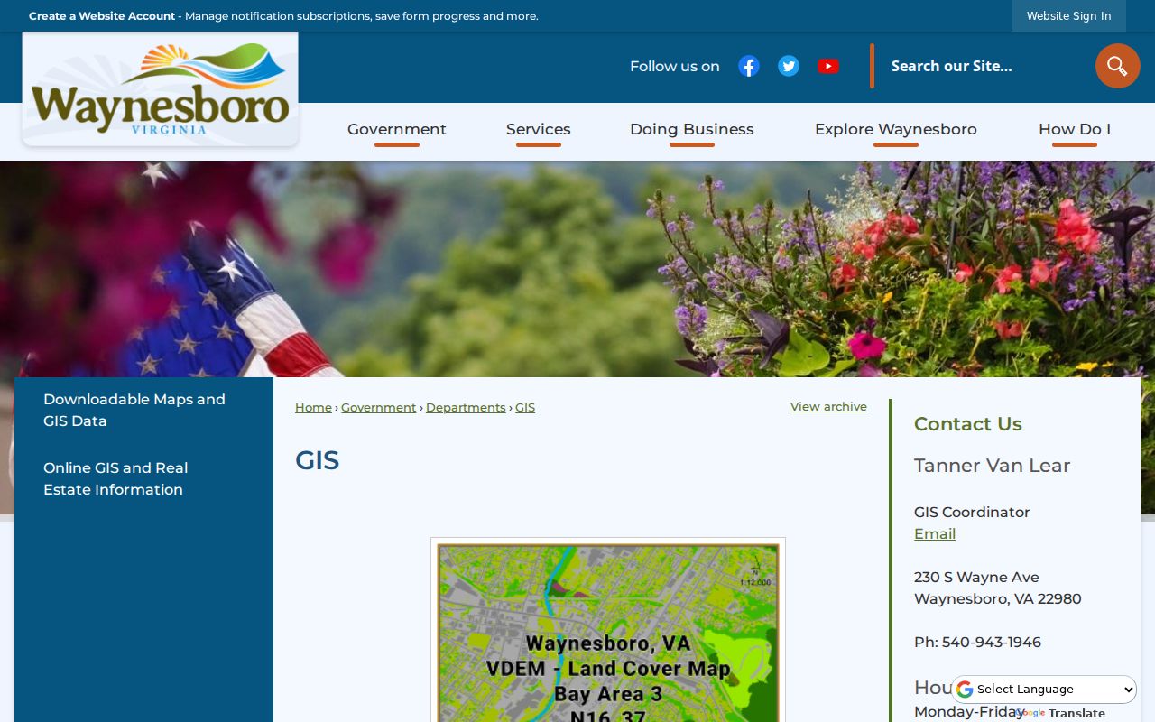
The map is most valuable when its parcel result is carried forward to the assessor and clerk rather than read as a resident list.
The city also publishes downloadable maps and GIS data. Use a downloaded map to compare names, boundaries, or overlays, then consult the agency for the current record.
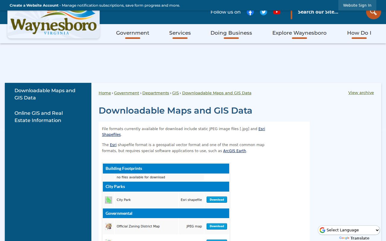
The download page expands geographic context but does not replace a current deed or assessor record.
Waynesboro Assessor Access Gap
The City Real Estate Assessor describes its holdings as current ownership, ownership history, deed-book information, lot size, and specific building information. It maintains about 10,300 parcels and performs reassessment in odd years. The former VGSI page now points to ACT DataScout, but the ACT destination returned HTTP 403 during inspection. Exact live field labels, filters, and a parcel-card result were not verified, so a Waynesboro street directory search should not claim a feature the official screen did not reveal.
| Address route | Verified use | Fallback |
|---|---|---|
| City assessor page | Office information and ownership-history scope | Call 540-942-6722 or visit 230 South Wayne Avenue |
| ACT DataScout destination | Current public property destination | 403 state was captured during inspection |
| City GIS | Parcel and street geography | Ask GIS staff about current mapping access |
Calling or visiting is the supported fallback when the online property destination does not open. Ask the assessor for the current way to research an address and the distinction between a situs and mailing field.
Waynesboro Street Records by Address
Different records answer different parts of an address question. The assessor is strongest for the current property connection. The GIS map places a parcel on a street. The Circuit Clerk keeps deeds, easements, liens, judgments, probate, and marriage-related clerk material, with online SRA access that may be index-only or require authorization for images. City building material can show a project address, owner or applicant, scope, contractor, and approvals, but those fields are not proof of occupancy.
| Address-keyed Waynesboro record | What it can show | Access channel |
|---|---|---|
| Assessor property record | Owner, ownership history, deed-book reference, building detail | ACT route, counter, phone |
| GIS parcel layer | Parcel geometry, streets, aerial or overlay context | City GIS and map downloads |
| Land-record index | Instrument parties and deed chain | SRA route, clerk terminal, counter |
| Permit or code file | Address-specific project evidence | Monthly reports, request, or FOIA |
| Historic directory or microfilm | Dated household and street context | Public library room and staff help |
A parcel number can help hold the trail together, while a street name can change or appear with a historical locality label. A street result should always carry its document date and source type.
Waynesboro Deeds Along a Street
The Waynesboro Circuit Court Clerk is the city's recorder. Virginia Secure Remote Access covers public land-record access under Va. Code §17.1-294 et seq.; some clerks offer a free index while images may be for authorized subscribers. The local online start year was not located in official materials. Do not assume a missing SRA hit means an older deed does not exist. The clerk can explain its public terminal, grantor/grantee index, book/page search, copy rules, and the earliest searchable material.
- Grantor
- The party transferring an interest in a deed.
- Grantee
- The party receiving that interest.
- Plat
- A drawing that identifies land boundaries or divisions.
- Legal description
- The formal land description used to keep a chain connected even if street wording changes.
Search the last grantee as the next grantor when moving backward through ownership. Compare names, dates, legal description, and book/page rather than relying on one surname match. The past-residents route uses the same deed chain for a single house over time.
Waynesboro Permit Address Evidence
Building and Zoning files can help explain work at a location. The city publishes a monthly permit-report page with Most Recent, View All, and notification controls, but it does not expose a name or address search. The application materials show possible fields for owner or applicant, project address, project type, construction cost, contractor, site or parcel, plans, and approvals. Some fields only apply to the particular project.
When the report page does not yield the period needed, request an existing address-specific permit, code case, or planning record through the city. Community Development describes enforcement as generally complaint-prompted with limited proactive work. A blank code trail should not be read as proof that no event occurred.
Note: Permit data describes a project and its paperwork; it must be compared with assessor and deed records before making an ownership claim.
Waynesboro Transfer Reports Today
The city property-transfer archive provides monthly links from January through December 2025 and January through July 2026 on the inspected page. It is a practical current transfer lead for the Waynesboro street directory, especially when the researcher already has an address and a recent date. The accessible material did not establish the exact PDF column schema, so use the report as a lead and confirm the parcel and instrument with the assessor and Circuit Clerk.
A transfer report can indicate a transaction without establishing that a buyer moved in. It also does not replace a deed image, a legal description, or a clerk-certified copy. The distinction is useful when a street search produces a recent owner name but no occupancy evidence.
Waynesboro Ward Address Check
The city’s Find Your Ward tool follows an address entry with a property sheet and ward result. It adds a civic geography check to a Waynesboro street directory search, particularly when an address lies near a ward boundary. A ward identifies an election district for the address. It does not confirm the people who live there, and it should not be merged with the personal voter-status form or a property-owner record.
Use the ward result to check the address itself, then return to the assessor, GIS, clerk, or library source that answers the separate ownership or historical question. Keeping those functions apart prevents a simple address lookup from becoming an unsupported resident claim.
Waynesboro Streets Before 1923
Historical address work needs local name variants. Basic City consolidated with Waynesboro in 1923, and older records can use Basic City, Waynesboro, or Augusta County labels. The 1888-89 Chataigne directory is an Augusta County gazetteer and classified business directory, while the verified 1950-51 Waynesboro directory citation uses the Augusta County label in its title. A search under only the modern city name can hide a useful historic lead.
Sanborn maps documented for 1886, 1891, 1897, 1902, 1907, 1913, 1920, 1925, 1930, and 1948 provide snapshots of buildings and street context. They do not form a household roster. Pair a map year with a directory, census, deed, or newspaper held through the library and historical collections.
Limits of Waynesboro Street Results
A street directory cannot identify every renter, family member, visitor, utility customer, or person who has left an address. Property information may name an owner whose mailing address is elsewhere. The voter personal-status portal is not a public address search, and DMV address data is restricted. City records may be redacted or withheld under Virginia law. Search results should be treated as documented connections, not a license to build a profile of people on a block.
For a historical name or household, use the library's Local History & Genealogy Room and historical directory holdings. For a single current person, use the more focused resident lookup path and verify the source's scope. That separation keeps address research accurate and respects the limits on private information.